METAR-TAF
Airports :
Victoria Falls Airport
Victoria Falls, Zimbabwe
latitude: 18-06S, longitude: 025-51E, elevation: 3480 ft
Current weather observation
The report was made 28 minutes ago, at 11:00 UTC
Wind 6 mph from the North
Temperature 86°F
Humidity 49%
Pressure 30.09 in. Hg
Visibility 6.2 miles or more
Scattered clouds at a height of 2500 ft
METAR: FVFA 281100Z 35005KT 9999 SCT025 30/18 Q1019 NOSIG
Time: 13:28 (11:28 UTC)
TAF: missing
Weather observations and forecasts of more than 4000 airports (METAR and TAF reports).
The available stations are represented by yellow and red dots on the map.
Hover mouse over dot to see the name of the station.
Then click to see weather observations and forecasts.
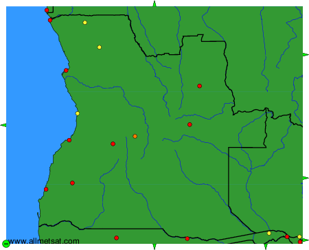
To change the map : click on the green buttons with a black cross to zoom in, on the green button with a dash to zoom out, or on the green arrows for adjacent maps.