METAR-TAF
Airports :
Birmingham–Shuttlesworth International Airport
Birmingham, Alabama, United States
latitude: 33-33-56N, longitude: 086-44-42W, elevation: 643 ft
Current weather observation
The report was made 44 minutes ago, at 22:53 UTC
Wind 7 mph from variable directions
Temperature 90°F
Humidity 52%
Pressure 30.06 in. Hg
Visibility: 10 miles
Few clouds at a height of 5000 ft
METAR: KBHM 082253Z VRB06KT 10SM FEW050 32/21 A3006 RMK AO2 SLP168 T03220211
Time: 18:37 (23:37 UTC)
Forecast
The report was made 17 minutes ago, at 23:20 UTC
Forecast valid from 09 at 00 UTC to 09 at 24 UTC
Wind 3 mph from variable directions
Visibility: 6 miles
Few clouds at a height of 6000 ft
Scattered clouds at a height of 25000 ft
Scattered clouds at a height of 25000 ft
From 09 at 1500 UTC
Wind 8 mph from the West/Southwest
Visibility: 6 miles
Scattered clouds at a height of 4000 ft
Probability 30%
from 09 at 20 UTC to 09 at 24 UTC
from 09 at 20 UTC to 09 at 24 UTC
Visibility: 4 miles
Scattered clouds at a height of 4000 ft, Cumulonimbus.
thunderstorm, rain
TAF: KBHM 082320Z 0900/0924 VRB03KT P6SM FEW060 SCT250 FM091500 25007KT P6SM SCT040 PROB30 0920/0924 4SM TSRA SCT040CB
Weather observations and forecasts of more than 4000 airports (METAR and TAF reports).
The available stations are represented by yellow and red dots on the map.
Hover mouse over dot to see the name of the station.
Then click to see weather observations and forecasts.
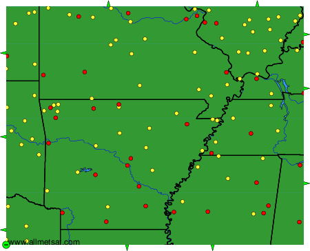
To change the map : click on the green buttons with a black cross to zoom in, on the green button with a dash to zoom out, or on the green arrows for adjacent maps.