METAR-TAF
Airports :
Mid Delta Regional Airport
Greenville, Mississippi, United States
latitude: 33-28-58N, longitude: 090-59-08W, elevation: 40 m
Current weather observation
The report was made 22 minutes ago, at 04:53 UTC
Wind 6 kt from the South
Temperature 28°C
Humidity 89%
Pressure 1011 hPa
Visibility: 16.1 km
Clear sky
METAR: KGLH 010453Z AUTO 19006KT 10SM CLR 28/26 A2984 RMK AO2 SLP107 T02780256
Time: 00:15 (05:15 UTC)
Forecast
The report was made 5 hours and 48 minutes ago, at 23:27 UTC
Forecast valid from 01 at 00 UTC to 01 at 24 UTC
Wind 7 kt from the South/Southwest
Visibility: 10 km
Scattered clouds at a height of 7000 ft
Temporary
from 01 at 09 UTC to 01 at 12 UTC
from 01 at 09 UTC to 01 at 12 UTC
Visibility: 6.4 km
Overcast at a height of 10000 ft
light rain showers
From 01 at 1400 UTC
Wind 13 kt from the West with gusts up to 21 kt
Visibility: 10 km
TAF: KGLH 312327Z 0100/0124 20007KT P6SM SCT070 TEMPO 0109/0112 4SM -SHRA OVC100 FM011400 26013G21KT P6SM SKC
Weather observations and forecasts of more than 4000 airports (METAR and TAF reports).
The available stations are represented by yellow and red dots on the map.
Hover mouse over dot to see the name of the station.
Then click to see weather observations and forecasts.
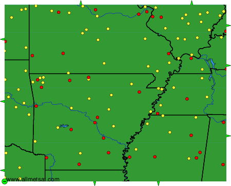
To change the map : click on the green buttons with a black cross to zoom in, on the green button with a dash to zoom out, or on the green arrows for adjacent maps.