METAR-TAF
Airports :
Memorial Field Airport
Hot Springs, Arkansas, United States
latitude: 34-28-41N, longitude: 093-05-46W, elevation: 165 m
Current weather observation
The report was made 48 minutes ago, at 21:53 UTC
Wind 6 kt from the North/Northeast with gusts up to 18 kt
Temperature 33°C
Humidity 36%
Pressure 1010 hPa
Visibility: 16.1 km
Few clouds at a height of 7000 ft
METAR: KHOT 022153Z AUTO 03006G18KT 10SM FEW070 33/16 A2983 RMK AO2 SLP095 T03280156
Time: 17:41 (22:41 UTC)
Forecast
The report was made 5 hours and 21 minutes ago, at 17:20 UTC
Forecast valid from 02 at 18 UTC to 03 at 18 UTC
Wind 9 kt from the North
Visibility: 10 km
Few clouds at a height of 5000 ft
From 03 at 0100 UTC
Wind 3 kt from variable directions
Visibility: 10 km
Clear sky
From 03 at 1200 UTC
Wind 4 kt from the East
Visibility: 10 km
TAF: KHOT 021720Z 0218/0318 36009KT P6SM FEW050 FM030100 VRB03KT P6SM SKC FM031200 10004KT P6SM SKC
Weather observations and forecasts of more than 4000 airports (METAR and TAF reports).
The available stations are represented by yellow and red dots on the map.
Hover mouse over dot to see the name of the station.
Then click to see weather observations and forecasts.
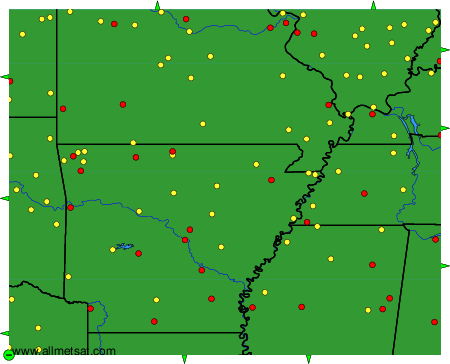
To change the map : click on the green buttons with a black cross to zoom in, on the green button with a dash to zoom out, or on the green arrows for adjacent maps.