METAR-TAF
Airports :
Jonesboro Municipal Airport
Jonesboro, Arkansas, United States
latitude: 35-50-14N, longitude: 090-38-35W, elevation: 259 ft
Current weather observation
The report was made 18 minutes ago, at 23:53 UTC
Wind 7 mph from the East/Southeast
Temperature 81°F
Humidity 70%
Pressure 29.83 in. Hg
Visibility: 10 miles
Scattered clouds at a height of 4800 ft
Broken clouds at a height of 6500 ft
Broken clouds at a height of 6500 ft
METAR: KJBR 022353Z AUTO 11006KT 10SM SCT048 BKN065 27/21 A2983 RMK AO2 SLP098 T02720206 10289 20250 58001 $
Time: 19:11 (00:11 UTC)
Forecast
The report was made 51 minutes ago, at 23:20 UTC
Forecast valid from 03 at 00 UTC to 03 at 24 UTC
Wind 5 mph from the North
Visibility: 6 miles
Scattered clouds at a height of 4500 ft
From 03 at 1500 UTC
Wind 8 mph from the Northeast
Visibility: 6 miles
Few clouds at a height of 20000 ft
TAF: KJBR 022320Z 0300/0324 35004KT P6SM SCT045 FM031500 05007KT P6SM FEW200
Weather observations and forecasts of more than 4000 airports (METAR and TAF reports).
The available stations are represented by yellow and red dots on the map.
Hover mouse over dot to see the name of the station.
Then click to see weather observations and forecasts.
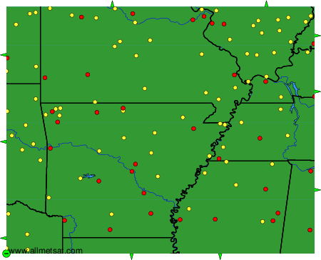
To change the map : click on the green buttons with a black cross to zoom in, on the green button with a dash to zoom out, or on the green arrows for adjacent maps.