METAR-TAF
Airports :
Rogers
Alton / St. Louis
Batesville
Belleville
Bentonville
Blytheville
Blytheville
Boonville
Branson
Cahokia / St. Louis
Cairo
Camden
Camdenton
Cape Girardeau
Carbondale / Murphysboro
Carmi
Centralia
Chanute
Claremore
Cleveland
Clinton
Columbia
Columbus
Columbus / West Point / Starkville
Corinth
De Queen
Dyersburg
El Dorado
Evansville
Fairfield
Farmington
Fayetteville
Fayetteville
Flippin
Flora
Fort Leonard Wood
Fort Smith
Gilmer
Greenville
Greenwood
Grove
Harrisburg
Harrison
Henderson
Hopkinsville
Hot Springs
Jackson
Jacksonville
Jefferson City
Jonesboro
Joplin
Kaiser Lake Ozark
Knob Noster
Lawrenceville
Lee's Summit
Little Rock
Malden
Marion
Memphis
Metropolis
Millington
Mineola / Quitman
Monticello
Mountain Home
Mount Carmel
Mount Ida
Mount Pleasant
Mount Vernon
Murray
Muscle Shoals
Muskogee
Olathe
Olathe
Olive Branch
Olney-Noble
Ottawa
Oxford
Paducah
Paris
Paris
Parsons
Parsons
Pine Bluff
Pittsburg
Poplar Bluff
Poteau
Rogers
Rolla
Russellville
Saint Charles
Salem
Sallisaw
Searcy
Sedalia
Sikeston
Siloam Springs
Sparta
Springdale
Springfield
Starkville
Stigler
St. Louis
St. Louis
Stuttgart
Tahlequah
Texarkana
Tunica
Tupelo
Tuscaloosa
Walnut Ridge
Warrensburg
West Memphis
West Plains
Arkansas
Alabama
Georgia
Illinois
Indiana
Kansas
Kentucky
Louisiana
Mississippi
Missouri
North America
Ohio
Oklahoma
Tennessee
Texas, East
Rogers Municipal Airport Rogers, Arkansas, United States
latitude: 36-22N, longitude: 094-06W, elevation: 415 m
Current weather observation The report was made 1 hour and 4 minutes ago, at 00:58 UTC
Wind 8 kt from the Southeast
Temperature 20 °C
Humidity 83 %
Pressure 1017 hPa
Visibility: 16.1 km
Few clouds at a height of 6500 ft
METAR: KROG 190058Z AUTO 13008KT 10SM FEW065 20/17 A3003 RMK AO2 SLP157 T02000167 TSNO
Time: 21:02 (02:02 UTC) Forecast The report was made 2 hours and 42 minutes ago, at 23:20 UTC
Forecast valid from 19 at 00 UTC to 19 at 24 UTC
Wind 6 kt from the West/Northwest
Visibility: 10 km
Scattered clouds at a height of 4000 ft Broken clouds at a height of 10000 ft
showers in vicinity
Probability 30% from 19 at 00 UTC to 19 at 01 UTC
Wind 10 kt from variable directions with gusts up to 20 kt
Visibility: 8.0 km
Broken clouds at a height of 4000 ft, Cumulonimbus.
thunderstorm, light rain
From 19 at 0200 UTC
Wind 2 kt from variable directions
Visibility: 10 km
Scattered clouds at a height of 5000 ft Scattered clouds at a height of 12000 ft
Probability 30% from 19 at 12 UTC to 19 at 15 UTC
Visibility: 4.8 km
Broken clouds at a height of 4000 ft, Cumulonimbus.
thunderstorm, light rain
From 19 at 1600 UTC
Wind 5 kt from variable directions
Visibility: 10 km
Few clouds at a height of 5000 ft Few clouds at a height of 20000 ft
TAF: KROG 182320Z 1900/1924 29006KT P6SM VCSH SCT040 BKN100 PROB30 1900/1901 VRB10G20KT 5SM -TSRA BKN040CB FM190200 VRB02KT P6SM SCT050 SCT120 PROB30 1912/1915 3SM -TSRA BKN040CB FM191600 VRB05KT P6SM FEW050 FEW200
Weather observations and forecasts of more than 4000 airports (METAR and TAF reports).
The available stations are represented by yellow and red dots on the map.
Hover mouse over dot to see the name of the station.
Then click to see weather observations and forecasts.
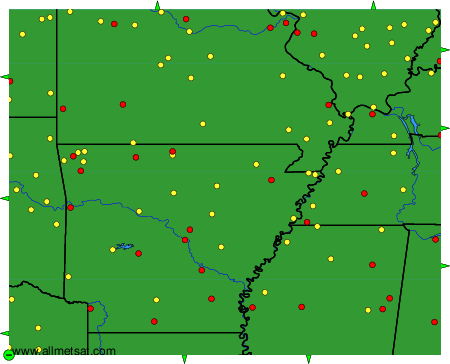
To change the map : click on the green buttons with a black cross to zoom in, on the green button with a dash to zoom out, or on the green arrows for adjacent maps.