METAR-TAF
Airports :
Mount Isa Airport
Mount Isa, Australia
latitude: 20-40S, longitude: 139-28E, elevation: 342 m
Current weather observation
Broken clouds at a height of 4100 ft
METAR: YBMA 130330Z AUTO 07007KT 040V110 9999 // SCT036 BKN041 31/24 Q1010
Time: 14:02 (04:02 UTC)
Forecast
Scattered clouds at a height of 2000 ft
from 12 at 22 UTC to 13 at 00 UTC
from 13 at 04 UTC to 13 at 06 UTC
Scattered clouds at a height of 3000 ft, Cumulonimbus.
TAF: YBMA 121727Z 1218/1306 06004KT 9999 -SHRA SCT010 SCT020 BECMG 1222/1300 07010KT 9999 -SHRA SCT030 PROB30 TEMPO 1304/1306 VRB15G30KT 1000 TSRA BKN005 SCT030CB
Weather observations and forecasts of more than 4000 airports (METAR and TAF reports).
The available stations are represented by yellow and red dots on the map.
Hover mouse over dot to see the name of the station.
Then click to see weather observations and forecasts.
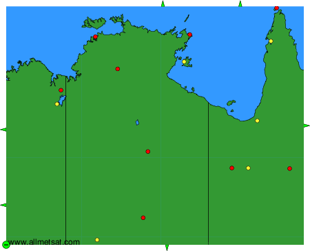
To change the map : click on the green buttons with a black cross to zoom in, on the green button with a dash to zoom out, or on the green arrows for adjacent maps.