METAR-TAF
Airports :
Gove Airport
Gove Peninsula, Australia
latitude: 12-16-12S, longitude: 136-49-06E, elevation: 62 m
Current weather observation
The report was made 36 minutes ago, at 04:00 UTC
Wind 17 kt from the Southeast
Temperature 26°C
Humidity 65%
Pressure 1013 hPa
Visibility 10 km or more
Broken clouds at a height of 2700 ft
Overcast at a height of 5100 ft
Overcast at a height of 5100 ft
METAR: YPGV 020400Z AUTO 14017KT 9999 // BKN027 OVC051 26/19 Q1013
Time: 14:06 (04:36 UTC)
Forecast
The report was made 3 hours and 31 minutes ago, at 01:05 UTC
Forecast valid from 02 at 02 UTC to 02 at 14 UTC
Wind 17 kt from the South/Southeast
Visibility 10 km or more
Broken clouds at a height of 2500 ft
From 02 at 0900 UTC
Wind 10 kt from the South/Southeast
Visibility 10 km or more
Broken clouds at a height of 2000 ft
TAF: YPGV 020105Z 0202/0214 15017KT 9999 BKN025 FM020900 15010KT 9999 BKN020
Weather observations and forecasts of more than 4000 airports (METAR and TAF reports).
The available stations are represented by yellow and red dots on the map.
Hover mouse over dot to see the name of the station.
Then click to see weather observations and forecasts.
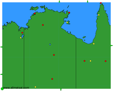
To change the map : click on the green buttons with a black cross to zoom in, on the green button with a dash to zoom out, or on the green arrows for adjacent maps.