METAR-TAF
Airports :
Santa Maria Airport
Santa Maria, Azores, Portugal
latitude: 36-58N, longitude: 025-10W, elevation: 100 m
Current weather observation
The report was made 22 minutes ago, at 06:30 UTC
Wind 16 kt from the South
Temperature 22°C
Humidity 83%
Pressure 1015 hPa
Visibility 10 km or more
Few clouds at a height of 1400 ft
Scattered clouds at a height of 3800 ft
Scattered clouds at a height of 3800 ft
METAR: LPAZ 290630Z 17016KT 9999 FEW014 SCT038 22/19 Q1015
Time: 06:52 (06:52 UTC)
Forecast
The report was made 1 hour and 52 minutes ago, at 05:00 UTC
Forecast valid from 29 at 06 UTC to 30 at 12 UTC
Wind 15 kt from the South
Visibility 10 km or more
Scattered clouds at a height of 1500 ft
Broken clouds at a height of 3000 ft
Broken clouds at a height of 3000 ft
Temporary
from 29 at 06 UTC to 30 at 06 UTC
from 29 at 06 UTC to 30 at 06 UTC
Visibility: 3000 m
Scattered clouds at a height of 400 ft
Broken clouds at a height of 800 ft
Few clouds at a height of 1800 ft, Cumulonimbus.
Broken clouds at a height of 800 ft
Few clouds at a height of 1800 ft, Cumulonimbus.
rain, drizzle, mist
Temporary
from 29 at 08 UTC to 29 at 22 UTC
from 29 at 08 UTC to 29 at 22 UTC
Wind 17 kt from the South with gusts up to 27 kt
TAF: LPAZ 290500Z 2906/3012 19015KT 9999 SCT015 BKN030 TEMPO 2906/3006 3000 RADZ BR SCT004 BKN008 FEW018CB TEMPO 2908/2922 19017G27KT
Weather observations and forecasts of more than 4000 airports (METAR and TAF reports).
The available stations are represented by yellow and red dots on the map.
Hover mouse over dot to see the name of the station.
Then click to see weather observations and forecasts.
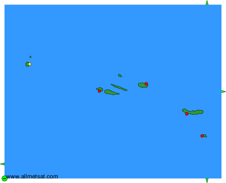
To change the map : click on the green buttons with a black cross to zoom in, on the green button with a dash to zoom out, or on the green arrows for adjacent maps.