METAR-TAF
Airports :
Flores Airport
Flores, Azores, Portugal
latitude: 39-27N, longitude: 031-08W, elevation: 28 m
Current weather observation
The report was made 28 minutes ago, at 09:00 UTC
Wind 6 kt from the North, varying between Northwest and North/Northeast
Temperature 19°C
Humidity 68%
Pressure 1018 hPa
Visibility 10 km or more
Scattered clouds at a height of 2000 ft
METAR: LPFL 210900Z 35006KT 310V030 9999 SCT020 19/13 Q1018
Time: 09:28 (09:28 UTC)
Forecast
The report was made 1 hour and 28 minutes ago, at 08:00 UTC
Forecast valid from 21 at 09 UTC to 21 at 18 UTC
Wind 5 kt from variable directions
Visibility 10 km or more
Few clouds at a height of 1800 ft
Temporary
from 21 at 09 UTC to 21 at 18 UTC
from 21 at 09 UTC to 21 at 18 UTC
Wind 10 kt from the Northwest
Scattered clouds at a height of 1500 ft
Broken clouds at a height of 3000 ft
Broken clouds at a height of 3000 ft
Becoming
from 21 at 15 UTC to 21 at 17 UTC
from 21 at 15 UTC to 21 at 17 UTC
Wind 7 kt from the South
TAF: LPFL 210800Z 2109/2118 VRB05KT 9999 FEW018 TEMPO 2109/2118 31010KT SCT015 BKN030 BECMG 2115/2117 18007KT
Weather observations and forecasts of more than 4000 airports (METAR and TAF reports).
The available stations are represented by yellow and red dots on the map.
Hover mouse over dot to see the name of the station.
Then click to see weather observations and forecasts.
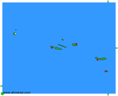
To change the map : click on the green buttons with a black cross to zoom in, on the green button with a dash to zoom out, or on the green arrows for adjacent maps.