METAR-TAF
Airports :
Lajes Field
Terceira, Azores, Portugal
latitude: 38-46N, longitude: 027-06W, elevation: 52 m
Current weather observation
Few clouds at a height of 2200 ft, Cumulonimbus.
Scattered clouds at a height of 3000 ft
METAR: LPLA 171600Z 35015KT 320V020 9999 BKN020 FEW022CB SCT030 09/06 Q1015 RESHRA
Time: 15:36 (16:36 UTC)
Forecast
Broken clouds at a height of 2500 ft
from 17 at 12 UTC to 18 at 12 UTC
Broken clouds at a height of 1800 ft
Scattered clouds at a height of 2200 ft, Cumulonimbus.
from 17 at 12 UTC to 17 at 17 UTC
from 17 at 12 UTC to 18 at 12 UTC
Broken clouds at a height of 1200 ft
Broken clouds at a height of 1600 ft, Cumulonimbus.
from 17 at 16 UTC to 17 at 18 UTC
from 17 at 17 UTC to 18 at 12 UTC
TAF: LPLA 171101Z 1712/1812 33020KT 9999 SCT018 BKN025 TEMPO 1712/1812 5000 SHRA SCT012 BKN018 SCT022CB TEMPO 1712/1717 34022G35KT PROB30 TEMPO 1712/1812 2000 SHRAGS SCT009 BKN012 BKN016CB BECMG 1716/1718 34025KT TEMPO 1717/1812 35030G42KT
Weather observations and forecasts of more than 4000 airports (METAR and TAF reports).
The available stations are represented by yellow and red dots on the map.
Hover mouse over dot to see the name of the station.
Then click to see weather observations and forecasts.
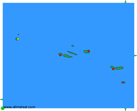
To change the map : click on the green buttons with a black cross to zoom in, on the green button with a dash to zoom out, or on the green arrows for adjacent maps.