METAR-TAF
Airports :
Kumasi Airport
Kumasi, Ghana
latitude: 06-43N, longitude: 001-36W, elevation: 287 m
Current weather observation
The report was made 2 hours and 14 minutes ago, at 19:00 UTC
Wind 6 kt from the Southeast
Temperature 24°C
Humidity 94%
Pressure 1015 hPa
Visibility: 8000 m
Broken clouds at a height of 1000 ft
Few clouds at a height of 3000 ft, Cumulonimbus.
Few clouds at a height of 3000 ft, Cumulonimbus.
thunderstorm, light rain
METAR: DGSI 291900Z 14006KT 8000 -TSRA BKN010 FEW030CB 24/23 Q1015 NOSIG
Time: 21:14 (21:14 UTC)
TAF: missing
Weather observations and forecasts of more than 4000 airports (METAR and TAF reports).
The available stations are represented by yellow and red dots on the map.
Hover mouse over dot to see the name of the station.
Then click to see weather observations and forecasts.
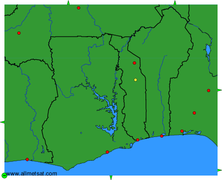
To change the map : click on the green buttons with a black cross to zoom in, on the green button with a dash to zoom out, or on the green arrows for adjacent maps.