METAR-TAF
Airports :
Port Bouet Airport
Abidjan, Ivory coast
latitude: 05-15N, longitude: 003-56W, elevation: 23 ft
Current weather observation
The report was made 12 minutes ago, at 01:00 UTC
Wind 10 mph from the Southwest
Temperature 79°F
Humidity 94%
Pressure 29.97 in. Hg
Visibility: 29527 ft
Scattered clouds at a height of 1100 ft
Broken clouds at a height of 2500 ft
Broken clouds at a height of 2500 ft
METAR: DIAP 090100Z 23009KT 9000 SCT011 BKN025 26/25 Q1015 NOSIG
Time: 01:12 (01:12 UTC)
Forecast
The report was made 2 hours and 12 minutes ago, at 23:00 UTC
Forecast valid from 09 at 00 UTC to 10 at 06 UTC
Wind 9 mph from the South/Southwest
Visibility: 22966 ft
Scattered clouds at a height of 1000 ft
Broken clouds at a height of 2000 ft
Broken clouds at a height of 2000 ft
Probability 30% :
Temporary
from 09 at 05 UTC to 09 at 10 UTC
from 09 at 05 UTC to 09 at 10 UTC
Visibility: 13123 ft
Broken clouds at a height of 1000 ft
rain
Probability 30% :
Temporary
from 09 at 16 UTC to 09 at 20 UTC
from 09 at 16 UTC to 09 at 20 UTC
Visibility: 13123 ft
Broken clouds at a height of 1000 ft
rain
TAF: DIAP 082300Z 0900/1006 20008KT 7000 SCT010 BKN020 PROB30 TEMPO 0905/0910 4000 RA BKN010 PROB30 TEMPO 0916/0920 4000 RA BKN010
Weather observations and forecasts of more than 4000 airports (METAR and TAF reports).
The available stations are represented by yellow and red dots on the map.
Hover mouse over dot to see the name of the station.
Then click to see weather observations and forecasts.
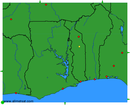
To change the map : click on the green buttons with a black cross to zoom in, on the green button with a dash to zoom out, or on the green arrows for adjacent maps.