METAR-TAF
Airports :
Murtala Muhammed International Airport
Lagos, Nigeria
latitude: 06-35N, longitude: 003-20E, elevation: 40 m
Current weather observation
METAR: DNMM 290200Z 20003KT 8000 BKN009 25/24 Q1014 NOSIG
Time: 03:25 (02:25 UTC)
Forecast
from 28 at 20 UTC to 28 at 24 UTC
from 29 at 03 UTC to 29 at 09 UTC
Few clouds at a height of 1800 ft, Cumulonimbus.
from 29 at 09 UTC to 29 at 11 UTC
from 29 at 12 UTC to 29 at 18 UTC
Few clouds at a height of 1900 ft, Cumulonimbus.
from 29 at 18 UTC to 29 at 20 UTC
TAF: DNMM 281700Z 2818/2924 VRB02KT 8000 SCT009 PROB30 2820/2824 5000 -RA BKN009 TEMPO 2903/2909 5000 -TSRA BKN008 FEW018CB BECMG 2909/2911 22010KT BKN013 TEMPO 2912/2918 5000 -TSRA BKN009 FEW019CB BECMG 2918/2920 VRB02KT SCT009
Weather observations and forecasts of more than 4000 airports (METAR and TAF reports).
The available stations are represented by yellow and red dots on the map.
Hover mouse over dot to see the name of the station.
Then click to see weather observations and forecasts.
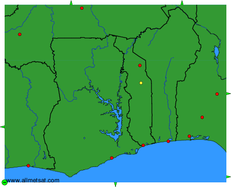
To change the map : click on the green buttons with a black cross to zoom in, on the green button with a dash to zoom out, or on the green arrows for adjacent maps.