METAR-TAF
Airports :
Air Force Base Makhado
Louis Trichardt, South Africa
latitude: 23-09-36S, longitude: 029-41-48E, elevation: 935 m
METAR: missing
Time: 22:25 (20:25 UTC)
Forecast
The report was made 11 hours and 25 minutes ago, at 09:00 UTC
Forecast valid from 27 at 10 UTC to 27 at 18 UTC
Wind 3 kt from variable directions
Visibility 10 km or more
no clouds below 1500 m and no cumulonimbus
TAF: FALM 270900Z 2710/2718 VRB03KT CAVOK TX23/2713Z TN13/2718Z
Weather observations and forecasts of more than 4000 airports (METAR and TAF reports).
The available stations are represented by yellow and red dots on the map.
Hover mouse over dot to see the name of the station.
Then click to see weather observations and forecasts.
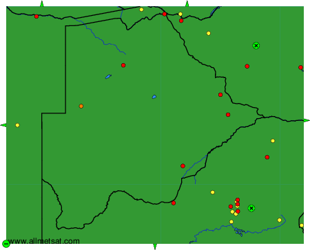
To change the map : click on the green buttons with a black cross to zoom in, on the green button with a dash to zoom out, or on the green arrows for adjacent maps.