METAR-TAF
Airports :
Polokwane International Airport
Polokwane, South Africa
latitude: 23-50-43S, longitude: 29-27-31E, elevation: 1242 m
Current weather observation
The report was made 1 hour and 0 minutes ago, at 00:00 UTC
Wind 2 kt from the West/Southwest
Temperature 3°C
Humidity 70%
Pressure 1026 hPa
METAR: FAPP 030000Z AUTO 25002KT //// // ////// 03/M02 Q1026
Time: 03:00 (01:00 UTC)
Forecast
The report was made 16 hours and 0 minutes ago, at 09:00 UTC
Forecast valid from 02 at 10 UTC to 02 at 18 UTC
Wind 7 kt from the South/Southwest
Visibility 10 km or more
no clouds below 1500 m and no cumulonimbus
TAF: FAPP 020900Z 0210/0218 20007KT CAVOK TX23/0212Z TN18/0218Z
Weather observations and forecasts of more than 4000 airports (METAR and TAF reports).
The available stations are represented by yellow and red dots on the map.
Hover mouse over dot to see the name of the station.
Then click to see weather observations and forecasts.
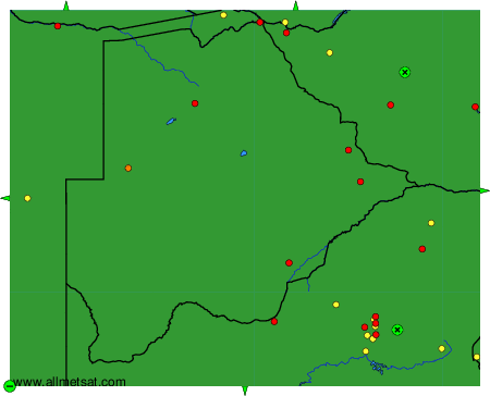
To change the map : click on the green buttons with a black cross to zoom in, on the green button with a dash to zoom out, or on the green arrows for adjacent maps.