METAR-TAF
Airports :
Sir Seretse Khama International Airport
Gaborone, Botswana
latitude: 24-13S, longitude: 025-55E, elevation: 1005 m
Current weather observation
The report was made 1 hour and 50 minutes ago, at 22:00 UTC
Wind 3 kt from the South
Temperature 11°C
Humidity 94%
Pressure 1026 hPa
Visibility: 8000 m
METAR: FBSK 242200Z 19003KT 8000 NSC 11/10 Q1026 NOSIG
Time: 01:50 (23:50 UTC)
Forecast
The report was made 1 hour and 50 minutes ago, at 22:00 UTC
Forecast valid from 25 at 00 UTC to 26 at 06 UTC
Wind 1 kt from variable directions
Visibility 10 km or more
no clouds below 1500 m and no cumulonimbus
Becoming
from 25 at 09 UTC to 25 at 11 UTC
from 25 at 09 UTC to 25 at 11 UTC
Wind 5 kt from the Northeast
Few clouds at a height of 3500 ft, Cumulonimbus.
TAF: FBSK 242200Z 2500/2606 VRB01KT CAVOK BECMG 2509/2511 05005KT FEW035CB
Weather observations and forecasts of more than 4000 airports (METAR and TAF reports).
The available stations are represented by yellow and red dots on the map.
Hover mouse over dot to see the name of the station.
Then click to see weather observations and forecasts.
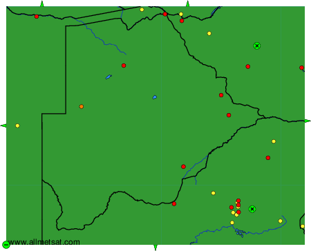
To change the map : click on the green buttons with a black cross to zoom in, on the green button with a dash to zoom out, or on the green arrows for adjacent maps.