METAR-TAF
Airports :
Harry Mwanga Nkumbula International Airport
Livingstone, Zambia
latitude: 17-49-18S, longitude: 025-49-22E, elevation: 991 m
Current weather observation
The report was made 1 minutes ago, at 12:00 UTC
Wind 8 kt from the South
Temperature 28°C
Humidity 28%
Pressure 1022 hPa
Visibility 10 km or more
no clouds below 1500 m and no cumulonimbus
METAR: FLHN 041200Z 17008KT CAVOK 28/08 Q1022 NOSIG
Time: 14:01 (12:01 UTC)
Forecast
The report was made 2 hours and 1 minutes ago, at 10:00 UTC
Forecast valid from 05 at 12 UTC to 06 at 18 UTC
Wind 9 kt from the Southeast
Visibility 10 km or more
no clouds below 1500 m and no cumulonimbus
Becoming
from 05 at 22 UTC to 06 at 00 UTC
from 05 at 22 UTC to 06 at 00 UTC
Wind 3 kt from variable directions
Becoming
from 06 at 06 UTC to 06 at 08 UTC
from 06 at 06 UTC to 06 at 08 UTC
Wind 12 kt from the East/Southeast
Becoming
from 06 at 14 UTC to 06 at 16 UTC
from 06 at 14 UTC to 06 at 16 UTC
Wind 5 kt from the East
TAF: FLHN 051000Z 0512/0618 13009KT CAVOK BECMG 0522/0600 VRB03KT BECMG 0606/0608 11012KT BECMG 0614/0616 09005KT
Weather observations and forecasts of more than 4000 airports (METAR and TAF reports).
The available stations are represented by yellow and red dots on the map.
Hover mouse over dot to see the name of the station.
Then click to see weather observations and forecasts.
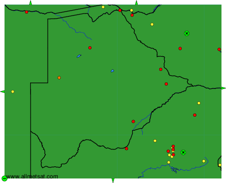
To change the map : click on the green buttons with a black cross to zoom in, on the green button with a dash to zoom out, or on the green arrows for adjacent maps.