METAR-TAF
Airports :
Victoria Falls Airport
Victoria Falls, Zimbabwe
latitude: 18-06S, longitude: 025-51E, elevation: 1061 m
Current weather observation
Broken clouds at a height of 4500 ft
METAR: FVFA 181200Z 08009KT 9999 FEW040CB BKN045 29/19 Q1013 TEMPO TS
Time: 15:28 (13:28 UTC)
Forecast
Scattered clouds at a height of 4000 ft
Broken clouds at a height of 9000 ft
from 18 at 13 UTC to 18 at 19 UTC
from 18 at 20 UTC to 18 at 22 UTC
from 19 at 05 UTC to 19 at 07 UTC
Broken clouds at a height of 9000 ft
from 19 at 10 UTC to 19 at 16 UTC
TAF: FVFA 181000Z 1812/1918 09007KT 9999 FEW035CB SCT040 BKN090 PROB30 TEMPO 1813/1819 8000 -TSRA BECMG 1820/1822 15005KT CAVOK BECMG 1905/1907 09010KT 9999 BKN015 BKN090 PROB30 TEMPO 1910/1916 8000 -SHRA BKN035TCU
Weather observations and forecasts of more than 4000 airports (METAR and TAF reports).
The available stations are represented by yellow and red dots on the map.
Hover mouse over dot to see the name of the station.
Then click to see weather observations and forecasts.
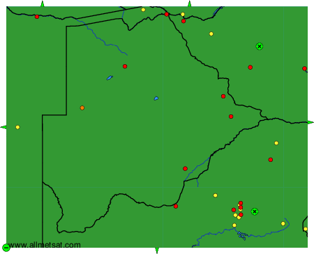
To change the map : click on the green buttons with a black cross to zoom in, on the green button with a dash to zoom out, or on the green arrows for adjacent maps.