METAR-TAF
Airports :
Katima Mulilo Airport
Katima Mulilo, Namibia
latitude: 17-38-04S, longitude: 024-10-36E, elevation: 985 m
Current weather observation
The report was made 43 minutes ago, at 21:00 UTC
Wind 1 kt from the North/Northwest
Temperature 8°C
Humidity 61%
Pressure 1022 hPa
METAR: FYKM 182100Z AUTO 34001KT //// // ////// 08/01 Q1022
Time: 23:43 (21:43 UTC)
Forecast
The report was made 1 hour and 43 minutes ago, at 20:00 UTC
Forecast valid from 18 at 21 UTC to 19 at 06 UTC
Wind kt from the North
Visibility 10 km or more
no clouds below 1500 m and no cumulonimbus
Becoming
from 18 at 23 UTC to 19 at 01 UTC
from 18 at 23 UTC to 19 at 01 UTC
Wind 4 kt from the Southeast
Becoming
from 19 at 02 UTC to 19 at 04 UTC
from 19 at 02 UTC to 19 at 04 UTC
Wind kt from the North
TAF: FYKM 182000Z 1821/1906 00000KT CAVOK BECMG 1823/1901 13004KT BECMG 1902/1904 00000KT
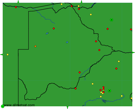
Weather observations and forecasts of more than 4000 airports (METAR and TAF reports).
The available stations are represented by yellow and red dots on the map.
Hover mouse over dot to see the name of the station.
Then click to see weather observations and forecasts.
To change the map : click on the green buttons with a black cross to zoom in, on the green button with a dash to zoom out, or on the green arrows for adjacent maps.