METAR-TAF
Airports :
Tancredo Neves International Airport
Belo Horizonte, Minas Gerais, Brazil
latitude: 19-56S, longitude: 043-56W, elevation: 850 m
Current weather observation
Scattered clouds at a height of 10000 ft
METAR: SBCF 031200Z 12006KT 090V190 9999 FEW023 SCT100 21/14 Q1026
Time: 09:13 (12:13 UTC)
Forecast
from 03 at 13 UTC to 03 at 15 UTC
from 03 at 16 UTC to 03 at 21 UTC
Few clouds at a height of 4000 ft, Towering cumulus.
from 03 at 21 UTC to 03 at 23 UTC
from 04 at 07 UTC to 04 at 11 UTC
TAF: SBCF 030800Z 0312/0412 13009KT 9999 SCT020 TX24/0318Z TN17/0409Z BECMG 0313/0315 07008KT SCT030 PROB30 TEMPO 0316/0321 SHRA SCT030 FEW040TCU BECMG 0321/0323 15005KT CAVOK PROB30 0407/0411 BKN008 RMK PGE
Weather observations and forecasts of more than 4000 airports (METAR and TAF reports).
The available stations are represented by yellow and red dots on the map.
Hover mouse over dot to see the name of the station.
Then click to see weather observations and forecasts.
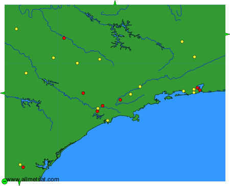
To change the map : click on the green buttons with a black cross to zoom in, on the green button with a dash to zoom out, or on the green arrows for adjacent maps.