METAR-TAF
Airports :
Afonso Pena International Airport
Curitiba, Paraná, Brazil
latitude: 25-31S, longitude: 049-10W, elevation: 908 m
Current weather observation
The report was made 25 minutes ago, at 08:00 UTC
Wind 4 kt from the Northeast
Temperature 15°C
Humidity 100%
Pressure 1017 hPa
Visibility: 9000 m
METAR: SBCT 280800Z 04004KT 9000 NSC 15/15 Q1017
Time: 05:25 (08:25 UTC)
Forecast
The report was made 5 hours and 25 minutes ago, at 03:00 UTC
Forecast valid from 28 at 06 UTC to 29 at 06 UTC
Wind 4 kt from the East/Northeast
Visibility 10 km or more
no clouds below 1500 m and no cumulonimbus
Probability 30%
from 28 at 07 UTC to 28 at 11 UTC
from 28 at 07 UTC to 28 at 11 UTC
Visibility: 2000 m
Broken clouds at a height of 500 ft
mist
Becoming
from 28 at 14 UTC to 28 at 16 UTC
from 28 at 14 UTC to 28 at 16 UTC
Wind 10 kt from the North/Northwest
Temporary
from 28 at 16 UTC to 28 at 20 UTC
from 28 at 16 UTC to 28 at 20 UTC
Wind 11 kt from the West/Northwest with gusts up to 23 kt
Becoming
from 28 at 20 UTC to 28 at 22 UTC
from 28 at 20 UTC to 28 at 22 UTC
Wind 6 kt from the West/Northwest
TAF: SBCT 280300Z 2806/2906 07004KT CAVOK TN13/2809Z TX27/2818Z PROB30 2807/2811 2000 BR BKN005 BECMG 2814/2816 33010KT TEMPO 2816/2820 30011G23KT BECMG 2820/2822 30006KT RMK PAC
Weather observations and forecasts of more than 4000 airports (METAR and TAF reports).
The available stations are represented by yellow and red dots on the map.
Hover mouse over dot to see the name of the station.
Then click to see weather observations and forecasts.
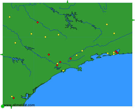
To change the map : click on the green buttons with a black cross to zoom in, on the green button with a dash to zoom out, or on the green arrows for adjacent maps.