METAR-TAF
Airports :
Rio de Janeiro–Galeão International Airport
Rio de Janeiro-Galeão, Rio de Janeiro, Brazil
latitude: 22-49S, longitude: 043-15W, elevation: 6 m
Current weather observation
METAR: SBGL 220900Z 33003KT 9999 BKN025 19/17 Q1018
Time: 06:27 (09:27 UTC)
Forecast
from 22 at 14 UTC to 22 at 16 UTC
from 22 at 23 UTC to 23 at 01 UTC
from 23 at 02 UTC to 23 at 04 UTC
from 23 at 10 UTC to 23 at 12 UTC
from 23 at 13 UTC to 23 at 15 UTC
from 23 at 16 UTC to 23 at 18 UTC
TAF: SBGL 220800Z 2212/2318 05005KT 9999 SCT020 TN21/2212Z TX30/2316Z BECMG 2214/2216 14010KT FEW020 BECMG 2223/2301 09005KT BECMG 2302/2304 02005KT BECMG 2310/2312 34005KT SCT020 BECMG 2313/2315 31010KT BECMG 2316/2318 22010G20KT RMK PHD
Weather observations and forecasts of more than 4000 airports (METAR and TAF reports).
The available stations are represented by yellow and red dots on the map.
Hover mouse over dot to see the name of the station.
Then click to see weather observations and forecasts.
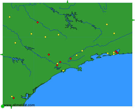
To change the map : click on the green buttons with a black cross to zoom in, on the green button with a dash to zoom out, or on the green arrows for adjacent maps.