METAR-TAF
Airports :
Macaé Airport
Macaé, Rio de Janeiro, Brazil
latitude: 22-21S, longitude: 041-46W, elevation: 2 m
Current weather observation
The report was made 45 minutes ago, at 02:00 UTC
Wind 5 kt from the Southeast
Temperature 27°C
Humidity 79%
Pressure 1010 hPa
Visibility 10 km or more
Scattered clouds at a height of 3000 ft
Broken clouds at a height of 10000 ft
Broken clouds at a height of 10000 ft
METAR: SBME 190200Z 13005KT 9999 SCT030 BKN100 27/23 Q1010
Time: 23:45 (02:45 UTC)
Forecast
The report was made 8 hours and 30 minutes ago, at 18:15 UTC
Forecast valid from 19 at 00 UTC to 19 at 12 UTC
Wind 5 kt from the East/Northeast
Visibility 10 km or more
Few clouds at a height of 3000 ft
Temporary
from 19 at 08 UTC to 19 at 12 UTC
from 19 at 08 UTC to 19 at 12 UTC
Visibility: 4000 m
Broken clouds at a height of 1500 ft
mist
TAF: SBME 181815Z 1900/1912 06005KT 9999 FEW030 TN24/1909Z TX31/1912Z TEMPO 1908/1912 4000 BR BKN015 RMK PHN
Weather observations and forecasts of more than 4000 airports (METAR and TAF reports).
The available stations are represented by yellow and red dots on the map.
Hover mouse over dot to see the name of the station.
Then click to see weather observations and forecasts.
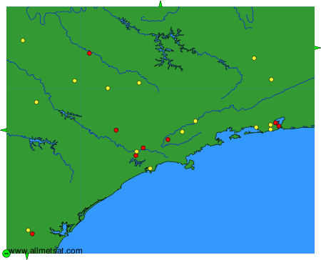
To change the map : click on the green buttons with a black cross to zoom in, on the green button with a dash to zoom out, or on the green arrows for adjacent maps.