METAR-TAF
Airports :
São José do Rio Preto Airport
São José do Rio Preto, São Paulo, Brazil
latitude: 20-48-58S, longitude: 049-24-17W, elevation: 543 m
Current weather observation
The report was made 53 minutes ago, at 19:00 UTC
Wind 2 kt from variable directions
Temperature 27°C
Humidity 51%
Pressure 1015 hPa
Visibility 10 km or more
Few clouds at a height of 3000 ft
Broken clouds at a height of 10000 ft
Broken clouds at a height of 10000 ft
METAR: SBSR 161900Z VRB02KT 9999 FEW030 BKN100 27/16 Q1015
Time: 16:53 (19:53 UTC)
TAF: missing
Weather observations and forecasts of more than 4000 airports (METAR and TAF reports).
The available stations are represented by yellow and red dots on the map.
Hover mouse over dot to see the name of the station.
Then click to see weather observations and forecasts.
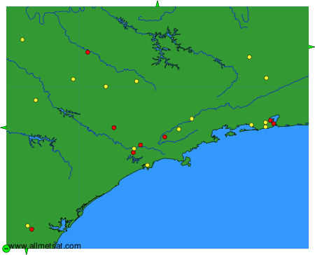
To change the map : click on the green buttons with a black cross to zoom in, on the green button with a dash to zoom out, or on the green arrows for adjacent maps.