METAR-TAF
Airports :
Kaduna International Airport
Kaduna, Nigeria
latitude: 10-36N, longitude: 007-27E, elevation: 645 m
METAR: missing
Time: 09:00 (08:00 UTC)
Forecast
The report was made 21 hours and 0 minutes ago, at 11:00 UTC
Forecast valid from 10 at 12 UTC to 11 at 18 UTC
Wind 10 kt from the South/Southwest
Visibility 10 km or more
Broken clouds at a height of 1200 ft
Probability 30% :
Temporary
from 10 at 16 UTC to 10 at 22 UTC
from 10 at 16 UTC to 10 at 22 UTC
Scattered clouds at a height of 1300 ft
Few clouds at a height of 2000 ft, Cumulonimbus.
Few clouds at a height of 2000 ft, Cumulonimbus.
thunderstorm
Becoming
from 10 at 22 UTC to 10 at 24 UTC
from 10 at 22 UTC to 10 at 24 UTC
Wind 2 kt from variable directions
Few clouds at a height of 1000 ft
Becoming
from 11 at 08 UTC to 11 at 11 UTC
from 11 at 08 UTC to 11 at 11 UTC
Wind 10 kt from the South/Southwest
Broken clouds at a height of 1200 ft
Probability 30%
from 11 at 15 UTC to 11 at 18 UTC
from 11 at 15 UTC to 11 at 18 UTC
Wind 15 kt from the East/Northeast
Scattered clouds at a height of 1000 ft
Few clouds at a height of 2000 ft, Cumulonimbus.
Few clouds at a height of 2000 ft, Cumulonimbus.
TAF: DNKA 101100Z 1012/1118 20010KT 9999 BKN012 PROB30 TEMPO 1016/1022 TS SCT013 FEW020CB BECMG 1022/1024 VRB02KT FEW010 BECMG 1108/1111 21010KT BKN012 PROB30 1115/1118 07015KT 5000-TSRA SCT010 FEW020CB
Weather observations and forecasts of more than 4000 airports (METAR and TAF reports).
The available stations are represented by yellow and red dots on the map.
Hover mouse over dot to see the name of the station.
Then click to see weather observations and forecasts.
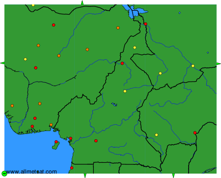
To change the map : click on the green buttons with a black cross to zoom in, on the green button with a dash to zoom out, or on the green arrows for adjacent maps.