METAR-TAF
Airports :
Bangui M'Poko International Airport
Bangui, Central African Republic
latitude: 04-24N, longitude: 018-31E, elevation: 365 m
Current weather observation
The report was made 31 minutes ago, at 00:00 UTC
Wind 3 kt from variable directions
Temperature 26°C
Humidity 74%
Pressure 1011 hPa
Visibility 10 km or more
no clouds below 1500 m and no cumulonimbus
METAR: FEFF 140000Z VRB03KT CAVOK 26/21 Q1011 NOSIG
Time: 01:31 (00:31 UTC)
Forecast
The report was made 1 hour and 31 minutes ago, at 23:00 UTC
Forecast valid from 14 at 00 UTC to 15 at 06 UTC
Wind 3 kt from variable directions
Visibility 10 km or more
no clouds below 1500 m and no cumulonimbus
Temporary
from 14 at 04 UTC to 14 at 06 UTC
from 14 at 04 UTC to 14 at 06 UTC
Visibility: 4000 m
mist,
TAF: FEFF 132300Z 1400/1506 VRB03KT CAVOK TEMPO 1404/1406 4000 BR
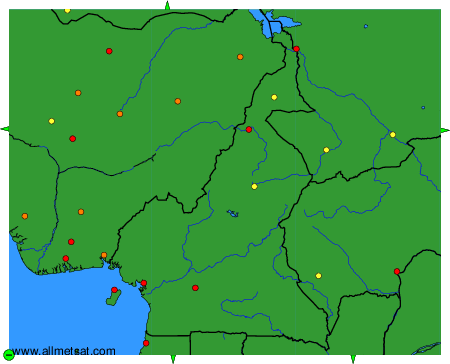
Weather observations and forecasts of more than 4000 airports (METAR and TAF reports).
The available stations are represented by yellow and red dots on the map.
Hover mouse over dot to see the name of the station.
Then click to see weather observations and forecasts.
To change the map : click on the green buttons with a black cross to zoom in, on the green button with a dash to zoom out, or on the green arrows for adjacent maps.