METAR-TAF
Airports :
Douala International Airport
Douala, Cameroon
latitude: 04-00N, longitude: 009-44E, elevation: 10 m
Current weather observation
The report was made 18 minutes ago, at 23:00 UTC
Calm wind
Temperature 25°C
Humidity 94%
Pressure 1013 hPa
Visibility 10 km or more
Broken clouds at a height of 1400 ft
Few clouds at a height of 1700 ft, Cumulonimbus.
Few clouds at a height of 1700 ft, Cumulonimbus.
thunderstorm
METAR: FKKD 022300Z 00000KT 9999 TS BKN014 FEW017CB 25/24 Q1013 NOSIG
Time: 00:18 (23:18 UTC)
Forecast
The report was made 6 hours and 18 minutes ago, at 17:00 UTC
Forecast valid from 02 at 18 UTC to 03 at 24 UTC
Wind 5 kt from variable directions
Visibility 10 km or more
Broken clouds at a height of 1400 ft
Few clouds at a height of 1700 ft, Cumulonimbus.
Few clouds at a height of 1700 ft, Cumulonimbus.
Temporary
from 02 at 18 UTC to 02 at 21 UTC
from 02 at 18 UTC to 02 at 21 UTC
thunderstorm
Temporary
from 03 at 00 UTC to 03 at 04 UTC
from 03 at 00 UTC to 03 at 04 UTC
Visibility: 3000 m
thunderstorm, rain
Temporary
from 03 at 05 UTC to 03 at 08 UTC
from 03 at 05 UTC to 03 at 08 UTC
Visibility: 2000 m
mist
Becoming
from 03 at 08 UTC to 03 at 10 UTC
from 03 at 08 UTC to 03 at 10 UTC
Broken clouds at a height of 1600 ft
Few clouds at a height of 2000 ft, Cumulonimbus.
Few clouds at a height of 2000 ft, Cumulonimbus.
TAF: FKKD 021700Z 0218/0324 VRB05KT 9999 BKN014 FEW017CB TEMPO 0218/0221 TS TEMPO 0300/0304 3000 TSRA TEMPO 0305/0308 2000 BR BECMG 0308/0310 BKN016 FEW020CB
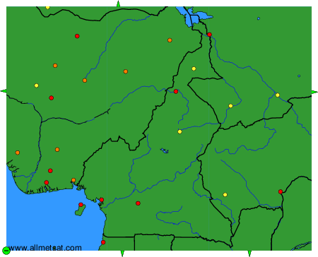
Weather observations and forecasts of more than 4000 airports (METAR and TAF reports).
The available stations are represented by yellow and red dots on the map.
Hover mouse over dot to see the name of the station.
Then click to see weather observations and forecasts.
To change the map : click on the green buttons with a black cross to zoom in, on the green button with a dash to zoom out, or on the green arrows for adjacent maps.