METAR-TAF
Airports :
Libreville International Airport
Libreville, Gabon
latitude: 00-27N, longitude: 009-25E, elevation: 12 m
Current weather observation
The report was made 41 minutes ago, at 11:00 UTC
Wind 7 kt from the Southwest, varying between South and West
Temperature 30°C
Humidity 75%
Pressure 1011 hPa
Visibility 10 km or more
Scattered clouds at a height of 1600 ft
Few clouds at a height of 2000 ft, Cumulonimbus.
Few clouds at a height of 2000 ft, Cumulonimbus.
METAR: FOOL 281100Z 22007KT 180V260 9999 SCT016 FEW020CB 30/25 Q1011 NOSIG
Time: 12:41 (11:41 UTC)
Forecast
The report was made 6 hours and 41 minutes ago, at 05:00 UTC
Forecast valid from 28 at 06 UTC to 29 at 12 UTC
Wind 6 kt from the West/Southwest
Visibility 10 km or more
Scattered clouds at a height of 1000 ft
Probability 40% :
Temporary
from 28 at 06 UTC to 28 at 10 UTC
from 28 at 06 UTC to 28 at 10 UTC
Broken clouds at a height of 1000 ft
Few clouds at a height of 2000 ft, Cumulonimbus.
Few clouds at a height of 2000 ft, Cumulonimbus.
thunderstorm
Temporary
from 29 at 00 UTC to 29 at 05 UTC
from 29 at 00 UTC to 29 at 05 UTC
Visibility: 4000 m
Broken clouds at a height of 1000 ft
Few clouds at a height of 2000 ft, Cumulonimbus.
Few clouds at a height of 2000 ft, Cumulonimbus.
thunderstorm, rain
TAF: FOOL 280500Z 2806/2912 24006KT 9999 SCT010 PROB40 TEMPO 2806/2810 TS BKN010 FEW020CB TEMPO 2900/2905 4000 TSRA BKN010 FEW020CB
Weather observations and forecasts of more than 4000 airports (METAR and TAF reports).
The available stations are represented by yellow and red dots on the map.
Hover mouse over dot to see the name of the station.
Then click to see weather observations and forecasts.
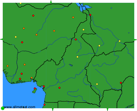
To change the map : click on the green buttons with a black cross to zoom in, on the green button with a dash to zoom out, or on the green arrows for adjacent maps.