METAR-TAF
Airports :
Fuerteventura Airport
Fuerteventura, Spain
latitude: 28-27N, longitude: 013-52W, elevation: 22 m
Current weather observation
The report was made 32 minutes ago, at 19:30 UTC
Wind 12 kt from the North
Temperature 31°C
Humidity 38%
Pressure 1011 hPa
Visibility 10 km or more
no clouds below 1500 m and no cumulonimbus
METAR: GCFV 021930Z 01012KT CAVOK 31/15 Q1011
Time: 21:02 (20:02 UTC)
Forecast
The report was made 6 hours and 2 minutes ago, at 14:00 UTC
Forecast valid from 02 at 15 UTC to 03 at 15 UTC
Wind 15 kt from the North
Visibility 10 km or more
no clouds below 1500 m and no cumulonimbus
Probability 30% :
Temporary
from 02 at 15 UTC to 02 at 19 UTC
from 02 at 15 UTC to 02 at 19 UTC
Wind 15 kt from the East/Northeast
TAF: GCFV 021400Z 0215/0315 36015KT CAVOK TX29/0314Z TN23/0306Z PROB30 TEMPO 0215/0219 06015KT
Weather observations and forecasts of more than 4000 airports (METAR and TAF reports).
The available stations are represented by yellow and red dots on the map.
Hover mouse over dot to see the name of the station.
Then click to see weather observations and forecasts.
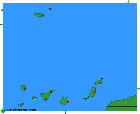
To change the map : click on the green buttons with a black cross to zoom in, on the green button with a dash to zoom out, or on the green arrows for adjacent maps.