METAR-TAF
Airports :
El Hierro Airport
El Hierro, Spain
latitude: 27-49N, longitude: 017-53W, elevation: 32 m
Current weather observation
The report was made 11 minutes ago, at 18:30 UTC
Wind 20 kt from the North
Temperature 24°C
Humidity 78%
Pressure 1019 hPa
Visibility 10 km or more
Scattered clouds at a height of 1700 ft
METAR: GCHI 211830Z AUTO 35020KT 9999 SCT017 24/20 Q1019
Time: 19:41 (18:41 UTC)
Forecast
The report was made 4 hours and 41 minutes ago, at 14:00 UTC
Forecast valid from 21 at 15 UTC to 22 at 15 UTC
Wind 20 kt from the North
Visibility 10 km or more
Few clouds at a height of 2000 ft
Probability 30% :
Temporary
from 21 at 15 UTC to 22 at 15 UTC
from 21 at 15 UTC to 22 at 15 UTC
Wind 20 kt from the North with gusts up to 30 kt
TAF: GCHI 211400Z 2115/2215 36020KT 9999 FEW020 TX26/2214Z TN22/2206Z PROB30 TEMPO 2115/2215 36020G30KT
Weather observations and forecasts of more than 4000 airports (METAR and TAF reports).
The available stations are represented by yellow and red dots on the map.
Hover mouse over dot to see the name of the station.
Then click to see weather observations and forecasts.
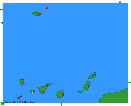
To change the map : click on the green buttons with a black cross to zoom in, on the green button with a dash to zoom out, or on the green arrows for adjacent maps.