METAR-TAF
Airports :
Tenerife-North Airport
Tenerife, Spain
latitude: 28-28N, longitude: 016-19W, elevation: 632 m
Current weather observation
The report was made 39 minutes ago, at 14:30 UTC
Wind 8 kt from the West, varying between Southwest and West/Northwest
Temperature 30°C
Humidity 55%
Pressure 1019 hPa
Visibility 10 km or more
no clouds below 1500 m and no cumulonimbus
METAR: GCXO 301430Z 27008KT 230V300 CAVOK 30/20 Q1019 NOSIG
Time: 16:09 (15:09 UTC)
Forecast
The report was made 1 hour and 9 minutes ago, at 14:00 UTC
Forecast valid from 30 at 15 UTC to 31 at 15 UTC
Wind 10 kt from the West/Northwest
Visibility 10 km or more
Few clouds at a height of 500 ft
Temporary
from 30 at 15 UTC to 30 at 17 UTC
from 30 at 15 UTC to 30 at 17 UTC
Wind 5 kt from the East/Southeast
Becoming
from 31 at 01 UTC to 31 at 03 UTC
from 31 at 01 UTC to 31 at 03 UTC
Wind 5 kt from variable directions
Probability 30% :
Temporary
from 30 at 20 UTC to 31 at 06 UTC
from 30 at 20 UTC to 31 at 06 UTC
Visibility: 1500 m
Broken clouds at a height of 100 ft
patches of fog
TAF: GCXO 301400Z 3015/3115 30010KT 9999 FEW005 TX28/3114Z TN18/3106Z TEMPO 3015/3017 12005KT BECMG 3101/3103 VRB05KT PROB30 TEMPO 3020/3106 1500 BCFG BKN001
Weather observations and forecasts of more than 4000 airports (METAR and TAF reports).
The available stations are represented by yellow and red dots on the map.
Hover mouse over dot to see the name of the station.
Then click to see weather observations and forecasts.
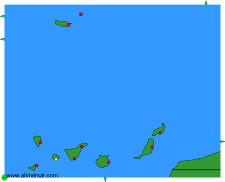
To change the map : click on the green buttons with a black cross to zoom in, on the green button with a dash to zoom out, or on the green arrows for adjacent maps.