METAR-TAF
Airports :
Porto Santo Airport
Porto Santo, Portugal
latitude: 33-04N, longitude: 016-21W, elevation: 97 m
Current weather observation
The report was made 39 minutes ago, at 08:00 UTC
Wind 4 kt from the East/Northeast, varying between North/Northwest and Southeast
Temperature 23°C
Humidity 78%
Pressure 1017 hPa
Visibility 10 km or more
Few clouds at a height of 1400 ft
METAR: LPPS 020800Z 07004KT 340V130 9999 FEW014 23/19 Q1017
Time: 09:39 (08:39 UTC)
Forecast
The report was made 3 hours and 39 minutes ago, at 05:00 UTC
Forecast valid from 02 at 06 UTC to 03 at 12 UTC
Wind 8 kt from the North
Visibility 10 km or more
Scattered clouds at a height of 1500 ft
TAF: LPPS 020500Z 0206/0312 36008KT 9999 SCT015
Weather observations and forecasts of more than 4000 airports (METAR and TAF reports).
The available stations are represented by yellow and red dots on the map.
Hover mouse over dot to see the name of the station.
Then click to see weather observations and forecasts.
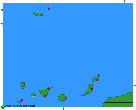
To change the map : click on the green buttons with a black cross to zoom in, on the green button with a dash to zoom out, or on the green arrows for adjacent maps.