METAR-TAF
Airports :
Kaneohe
Aitutaki
Alofi
Aneityum
Aoba Island
Apia
Auckland
Ballina
Bradshaw
Brisbane
Cabo San Lucas
Casino
Christchurch
Ciudad Obregón
Coffs Harbour
Coolangatta
Culiacán
Easter Island
Funafuti
Futuna
Grafton
Guaymas
Hermosillo
Hilo
Honiara
Honolulu
Kahului
Kailua
Kaneohe
Kapolei
Kaunakakai
Kekaha
Kiritimati
Koné
Kosrae
Koumac
Kwajalein
Lahaina
Lāna'i City
La Paz
Lifou
Lifuka
Lihue
Lismore
Lord Howe Island
Loreto
Los Mochis
Luganville
Majuro
Majuro
Malakula
Manihiki
Maré
Midway
Munda
Nadi
Norfolk Island
Nouméa
Nouméa / La Tontouta
Ouvéa
Pago Pago
Penrhyn
Pohnpei
Pohnpei
Port Vila
Rarotonga
San José Del Cabo
Suva
Tahiti
Tanna
Tarawa
Tongatapu
Touho
Vanua Lava
Vavaʻu
Wake Island
Wallis
Wellington
Wheeler
Central Pacific
Australia
Hawaii
Melanesia
Mexico, Northwest
Micronesia
New Caledonia
New Zealand
New Zealand, North Island
New Zealand, South Island
North Pacific
South Pacific
Marine Corps Air Station Kaneohe Bay Kaneohe, Hawaii, United States
latitude: 21-27-14N, longitude: 157-45-56W, elevation: 5 m
Current weather observation The report was made 18 minutes ago, at 05:57 UTC
Wind 9 kt from the East with gusts up to 16 kt
Temperature 23 °C
Humidity 89 %
Pressure 1015 hPa
Visibility: 9.7 km
Scattered clouds at a height of 800 ft Broken clouds at a height of 2300 ft Broken clouds at a height of 5000 ft
light rain, mist
METAR: PHNG 150557Z 08009G16KT 6SM -RA BR SCT008 BKN023 BKN050 23/21 A2996 RMK AO2 RAB57 SLP139 WR// P0005 60011 T02330211 10267 20222 53007
Time: 20:15 (06:15 UTC) Forecast The report was made 3 hours and 15 minutes ago, at 03:00 UTC
Forecast valid from 15 at 03 UTC to 16 at 03 UTC
Wind 12 kt from the East
Visibility 10 km or more
Scattered clouds at a height of 1000 ft Broken clouds at a height of 2500 ft
Temporary
Broken clouds at a height of 1000 ft Broken clouds at a height of 2500 ft
Becoming
Visibility: 4800 m
Broken clouds at a height of 1000 ft Overcast at a height of 2500 ft
rain showers, mist
TAF: PHNG 150300Z 1503/1603 08012KT 9999 SCT010 BKN025 QNH2990INS TEMPO 1504/1510 BKN010 BKN025 BECMG 1515/1517 4800 SHRA BR BKN010 OVC025 TX26/1522Z TN23/1513
Weather observations and forecasts of more than 4000 airports (METAR and TAF reports).
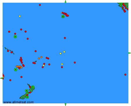
The available stations are represented by yellow and red dots on the map.
Hover mouse over dot to see the name of the station.
Then click to see weather observations and forecasts.
To change the map : click on the green buttons with a black cross to zoom in, on the green button with a dash to zoom out, or on the green arrows for adjacent maps.
