METAR-TAF
Airports :
New Chitose Airport
Chitose, Japan
latitude: 42-48N, longitude: 141-40E, elevation: 27 m
Current weather observation
METAR: RJCC 030700Z 34011KT CAVOK 13/M07 Q1012
Time: 16:35 (07:35 UTC)
Forecast
from 03 at 10 UTC to 03 at 12 UTC
from 03 at 18 UTC to 04 at 00 UTC
Broken clouds at a height of 800 ft
from 03 at 21 UTC to 04 at 00 UTC
from 04 at 06 UTC to 04 at 09 UTC
Broken clouds at a height of 800 ft
from 04 at 09 UTC to 04 at 12 UTC
Broken clouds at a height of 500 ft
TAF: RJCC 030505Z 0306/0412 35012KT 9999 FEW030 BECMG 0310/0312 16006KT TEMPO 0318/0400 4000 BR FEW003 BKN008 BECMG 0321/0400 16020KT TEMPO 0406/0409 FEW003 BKN008 TEMPO 0409/0412 4000 -SHRA BR FEW002 BKN005
Weather observations and forecasts of more than 4000 airports (METAR and TAF reports).
The available stations are represented by yellow and red dots on the map.
Hover mouse over dot to see the name of the station.
Then click to see weather observations and forecasts.
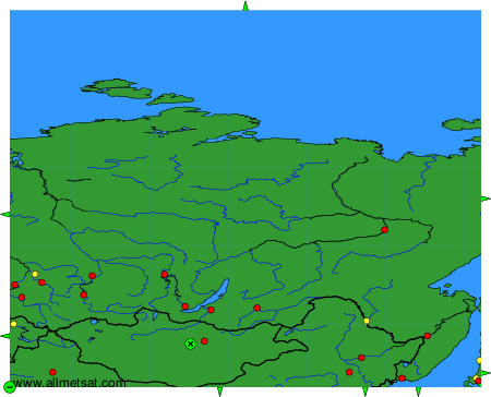
To change the map : click on the green buttons with a black cross to zoom in, on the green button with a dash to zoom out, or on the green arrows for adjacent maps.