METAR-TAF
Airports :
Chinggis Khaan International Airport
Ulan Bator, Mongolia
latitude: 47-55N, longitude: 106-52E, elevation: 1306 m
Current weather observation
Few clouds at a height of 3000 ft, Cumulonimbus.
Broken clouds at a height of 3300 ft
METAR: ZMUB 292200Z VRB02MPS 8000 FEW017 FEW030CB BKN033 17/16 Q1004 NOSIG RMK QFE647.0 93 E CM
Time: 06:17 (22:17 UTC)
Forecast
Few clouds at a height of 2700 ft, Cumulonimbus.
Broken clouds at a height of 3000 ft
Broken clouds at a height of 8000 ft
from 29 at 18 UTC to 30 at 02 UTC
Scattered clouds at a height of 2300 ft, Cumulonimbus.
Broken clouds at a height of 3000 ft
Broken clouds at a height of 8000 ft
from 30 at 00 UTC to 30 at 02 UTC
from 30 at 10 UTC to 30 at 12 UTC
Scattered clouds at a height of 3300 ft
TAF: ZMUB 291650Z 2918/3024 VRB02MPS 9999 RA FEW017 FEW027CB BKN030 BKN080 TN17/2921Z TX22/3007Z TEMPO 2918/3002 VRB08G13MPS 6000 SHRA FEW013 SCT023CB BKN030 BKN080 BECMG 3000/3002 30007MPS BECMG 3010/3012 VRB02MPS NSW FEW030CB SCT033
Weather observations and forecasts of more than 4000 airports (METAR and TAF reports).
The available stations are represented by yellow and red dots on the map.
Hover mouse over dot to see the name of the station.
Then click to see weather observations and forecasts.
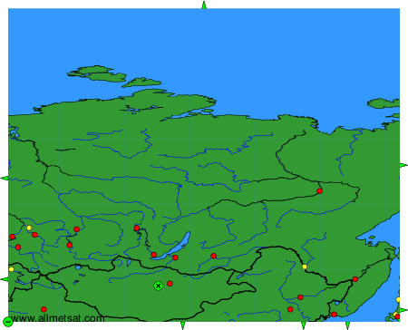
To change the map : click on the green buttons with a black cross to zoom in, on the green button with a dash to zoom out, or on the green arrows for adjacent maps.