METAR-TAF
Airports :
Ürümqi Diwopu International Airport
Ürümqi, China
latitude: 43-54N, longitude: 087-28E, elevation: 654 m
Current weather observation
The report was made 10 minutes ago, at 14:00 UTC
Wind 4 kt from the North
Temperature 26°C
Humidity 54%
Pressure 1009 hPa
Visibility 10 km or more
no clouds below 1500 m and no cumulonimbus
METAR: ZWWW 251400Z 36002MPS CAVOK 26/16 Q1009 NOSIG
Time: 20:10 (14:10 UTC)
Forecast
The report was made 5 hours and 8 minutes ago, at 09:02 UTC
Forecast valid from 25 at 12 UTC to 26 at 18 UTC
Wind 8 kt from the North
Visibility 10 km or more
no clouds below 1500 m and no cumulonimbus
Becoming
from 25 at 13 UTC to 25 at 14 UTC
from 25 at 13 UTC to 25 at 14 UTC
Wind 8 kt from the South
Becoming
from 26 at 02 UTC to 26 at 03 UTC
from 26 at 02 UTC to 26 at 03 UTC
Wind 8 kt from the North
Becoming
from 26 at 14 UTC to 26 at 15 UTC
from 26 at 14 UTC to 26 at 15 UTC
Wind 8 kt from the West with gusts up to 17 kt
TAF: ZWWW 250902Z 2512/2618 36004MPS CAVOK TX33/2609Z TN23/2522Z TN25/2618Z BECMG 2513/2514 18004MPS BECMG 2602/2603 36004MPS BECMG 2614/2615 28004G09MPS
Weather observations and forecasts of more than 4000 airports (METAR and TAF reports).
The available stations are represented by yellow and red dots on the map.
Hover mouse over dot to see the name of the station.
Then click to see weather observations and forecasts.
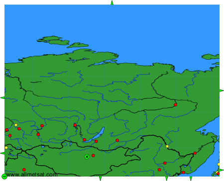
To change the map : click on the green buttons with a black cross to zoom in, on the green button with a dash to zoom out, or on the green arrows for adjacent maps.