METAR-TAF
Airports :
Changchun Longjia International Airport
Changchun, China
latitude: 43-54N, longitude: 125-13E, elevation: 238 m
Current weather observation
The report was made 25 minutes ago, at 02:00 UTC
Wind 12 kt from the Southwest
Temperature 28°C
Humidity 70%
Pressure 1006 hPa
Visibility 10 km or more
Scattered clouds at a height of 2600 ft
METAR: ZYCC 220200Z 23006MPS 9999 SCT026 28/22 Q1006 NOSIG
Time: 10:25 (02:25 UTC)
Forecast
The report was made 5 hours and 21 minutes ago, at 21:04 UTC
Forecast valid from 22 at 00 UTC to 22 at 24 UTC
Wind 8 kt from the Southwest
Visibility: 6000 m
Scattered clouds at a height of 3000 ft
TAF: ZYCC 212104Z 2200/2224 22004MPS 6000 SCT030 TX29/2206Z TN23/2220Z
Weather observations and forecasts of more than 4000 airports (METAR and TAF reports).
The available stations are represented by yellow and red dots on the map.
Hover mouse over dot to see the name of the station.
Then click to see weather observations and forecasts.
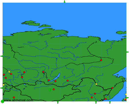
To change the map : click on the green buttons with a black cross to zoom in, on the green button with a dash to zoom out, or on the green arrows for adjacent maps.