METAR-TAF
Airports :
Seoul-Gimpo
Almaty
Bangkok
Beijing
Changchun
Changsha
Chengdu
Chennai
Chita
Chongqing
Dalian
Fuzhou
Guangzhou
Guilin
Guiyang
Haikou
Hangzhou
Hanoi
Harbin
Hefei
Ho Chi Minh City
Hohhot
Hong Kong
Irkutsk
Kashgar
Kathmandu
Kolkata
Kunming
Lanzhou
Manila
Nanjing
Nanning
New Delhi
Ningbo
Novosibirsk
Pyongyang
Qingdao
Sanya
Seoul-Incheon
Shanghai-Hongqiao
Shanghai-Pudong
Shantou
Shenyang
Shenzhen
Shijiazhuang
Taipei
Taiyuan
Tianjin
Ulan Bator
Ürümqi
Vientiane
Vladivostok
Wuhan
Xiamen
Xi'an
Zhengzhou
China
Afghanistan
Asia
Bangladesh
Bhutan
Cambodia
Central Siberia
China, East
Eastern Siberia
Hong Kong
India
Indian Ocean islands
India, Northeast
Indonesia
Japan
Japan, Kyushu Shikoku
Japan, Ryukyu Islands
Kazakhstan
Kyrgyzstan
Laos
Macau
Malaysia
Melanesia
Micronesia
Mongolia
Myanmar
Nepal
North Korea
Pakistan
Philippines
South Korea
Sri Lanka
Taiwan
Tajikistan
Thailand
Turkmenistan
Uzbekistan
Vietnam
Western Siberia
Gimpo International Airport Seoul-Gimpo, South Korea
latitude: 37-33N, longitude: 126-48E, elevation: 18 m
Current weather observation The report was made 40 minutes ago, at 02:00 UTC
Wind 4 kt from the South , varying between East/Southeast and West/Northwest
Temperature 12 °C
Humidity 47 %
Pressure 1021 hPa
Visibility 10 km or more
no clouds below 1500 m and no cumulonimbus
METAR: RKSS 080200Z 18004KT 120V290 CAVOK 12/01 Q1021 NOSIG
Time: 11:40 (02:40 UTC) Forecast The report was made 3 hours and 40 minutes ago, at 23:00 UTC
Forecast valid from 08 at 00 UTC to 09 at 06 UTC
Wind 6 kt from the South
Visibility 10 km or more
no clouds below 1500 m and no cumulonimbus
Becoming
Wind 6 kt from the West/Southwest
Becoming
Wind 5 kt from the Southeast
Visibility: 6000 m
Becoming
Wind 7 kt from the East
Few clouds at a height of 1000 ft Broken clouds at a height of 3500 ft Overcast at a height of 8000 ft
light rain
Becoming
Visibility: 2500 m
Scattered clouds at a height of 800 ft Broken clouds at a height of 2000 ft Overcast at a height of 7000 ft
rain
TAF: RKSS 072300Z 0800/0906 19006KT CAVOK TX15/0805Z TN04/0820Z TX10/0905Z BECMG 0801/0803 25006KT BECMG 0812/0814 14005KT 6000 NSC BECMG 0900/0902 10007KT -RA FEW010 BKN035 OVC080 BECMG 0904/0906 2500 RA SCT008 BKN020 OVC070
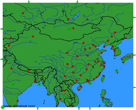
Weather observations and forecasts of more than 4000 airports (METAR and TAF reports).
The available stations are represented by yellow and red dots on the map.
Hover mouse over dot to see the name of the station.
Then click to see weather observations and forecasts.
To change the map : click on the green buttons with a black cross to zoom in, on the green button with a dash to zoom out, or on the green arrows for adjacent maps.
