METAR-TAF
Airports :
Santa Fe Regional Airport
Santa Fe, New Mexico, United States
latitude: 35-36-38N, longitude: 106-05-42W, elevation: 6344 ft
Current weather observation
The report was made 58 minutes ago, at 23:53 UTC
Wind 8 mph from the Southwest
Temperature 86°F
Humidity 17%
Pressure 30.13 in. Hg
Visibility: 10 miles
Clear sky
METAR: KSAF 272353Z 22007KT 10SM CLR 30/02 A3013 RMK AO2 SLP093 T03000022 10317 20261 56021
Time: 18:51 (00:51 UTC)
Forecast
The report was made 1 hour and 13 minutes ago, at 23:38 UTC
Forecast valid from 28 at 00 UTC to 28 at 24 UTC
Wind 14 mph from the South/Southeast with gusts up to 23 mph
Visibility: 6 miles
Scattered clouds at a height of 11000 ft
From 28 at 0600 UTC
Wind 7 mph from the North
Visibility: 6 miles
Few clouds at a height of 12000 ft
From 28 at 1800 UTC
Wind 12 mph from the West/Northwest
Visibility: 6 miles
Scattered clouds at a height of 12000 ft
TAF: KSAF 272338Z 2800/2824 16012G20KT P6SM SCT110 FM280600 01006KT P6SM FEW120 FM281800 29010KT P6SM SCT120
Weather observations and forecasts of more than 4000 airports (METAR and TAF reports).
The available stations are represented by yellow and red dots on the map.
Hover mouse over dot to see the name of the station.
Then click to see weather observations and forecasts.
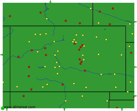
To change the map : click on the green buttons with a black cross to zoom in, on the green button with a dash to zoom out, or on the green arrows for adjacent maps.