METAR-TAF
Airports :
Key West International Airport
Key West, Florida, United States
latitude: 24-33-13N, longitude: 081-45-13W, elevation: 1 m
Current weather observation
The report was made 29 minutes ago, at 02:53 UTC
Wind 9 kt from the Southeast
Temperature 29°C
Humidity 79%
Pressure 1018 hPa
Visibility: 16.1 km
Scattered clouds at a height of 2100 ft
METAR: KEYW 090253Z AUTO 14009KT 10SM SCT021 29/25 A3007 RMK AO2 SLP189 T02890250 53012 $
Time: 23:22 (03:22 UTC)
Forecast
The report was made 3 hours and 59 minutes ago, at 23:23 UTC
Forecast valid from 09 at 00 UTC to 09 at 24 UTC
Wind 8 kt from the Southeast
Visibility: 10 km
Few clouds at a height of 2500 ft
TAF: KEYW 082323Z 0900/0924 13008KT P6SM FEW025
Weather observations and forecasts of more than 4000 airports (METAR and TAF reports).
The available stations are represented by yellow and red dots on the map.
Hover mouse over dot to see the name of the station.
Then click to see weather observations and forecasts.
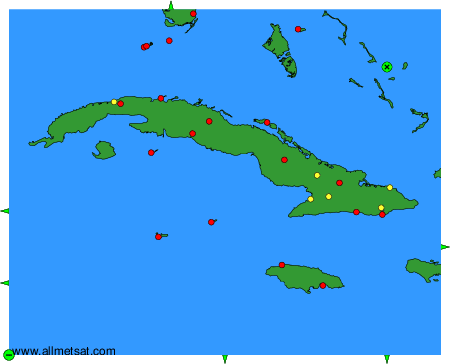
To change the map : click on the green buttons with a black cross to zoom in, on the green button with a dash to zoom out, or on the green arrows for adjacent maps.