METAR-TAF
Airports :
Adana Şakirpaşa Airport
Adana, Turkey
latitude: 36-59N, longitude: 035-18E, elevation: 20 m
Current weather observation
The report was made 17 minutes ago, at 12:50 UTC
Wind 5 kt from the South/Southwest, varying between Southeast and West/Southwest
Temperature 17°C
Humidity 48%
Pressure 1017 hPa
Visibility 10 km or more
Scattered clouds at a height of 3500 ft
Broken clouds at a height of 10000 ft
Broken clouds at a height of 10000 ft
METAR: LTAF 061250Z 20005KT 140V240 9999 SCT035 BKN100 17/06 Q1017 NOSIG RMK RWY23 VRB04KT 3CU035 5AC100
Time: 16:07 (13:07 UTC)
Forecast
The report was made 2 hours and 27 minutes ago, at 10:40 UTC
Forecast valid from 06 at 12 UTC to 07 at 12 UTC
Wind 2 kt from variable directions
Visibility 10 km or more
Scattered clouds at a height of 3500 ft
Broken clouds at a height of 10000 ft
Broken clouds at a height of 10000 ft
Temporary
from 06 at 12 UTC to 06 at 14 UTC
from 06 at 12 UTC to 06 at 14 UTC
light rain showers
Becoming
from 07 at 05 UTC to 07 at 08 UTC
from 07 at 05 UTC to 07 at 08 UTC
Wind 12 kt from the North/Northeast
TAF: LTAF 061040Z 0612/0712 VRB02KT 9999 SCT035 BKN100 TEMPO 0612/0614 -SHRA BECMG 0705/0708 03012KT
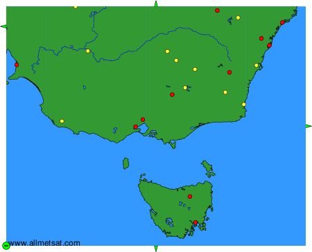
Weather observations and forecasts of more than 4000 airports (METAR and TAF reports).
The available stations are represented by yellow and red dots on the map.
Hover mouse over dot to see the name of the station.
Then click to see weather observations and forecasts.
To change the map : click on the green buttons with a black cross to zoom in, on the green button with a dash to zoom out, or on the green arrows for adjacent maps.