METAR-TAF
Airports :
María Montez International Airport
Santa Cruz de Barahona, Dominican Republic
latitude: 18-12N, longitude: 071-06W, elevation: 3 m
Current weather observation
The report was made 11 hours and 0 minutes ago, at 00:00 UTC
Wind 10 kt from the Southeast
Temperature 29°C
Humidity 74%
Pressure 1016 hPa
Visibility 10 km or more
Few clouds at a height of 2000 ft, Cumulonimbus.
Scattered clouds at a height of 30000 ft
Scattered clouds at a height of 30000 ft
METAR: MDBH 310000Z 13010KT 9999 FEW020CB SCCT022 SCT300 29/24 Q1016 CB/NE/SW
Time: 07:00 (11:00 UTC)
Forecast
The report was made 1 hour and 0 minutes ago, at 10:00 UTC
Forecast valid from 31 at 12 UTC to 01 at 12 UTC
Wind kt from the North
Visibility 10 km or more
Few clouds at a height of 1800 ft, Cumulonimbus.
Scattered clouds at a height of 1800 ft
Scattered clouds at a height of 1800 ft
Becoming
from 31 at 15 UTC to 31 at 17 UTC
from 31 at 15 UTC to 31 at 17 UTC
Wind 12 kt from the Southeast
TAF: MDBH 311000Z 3112/0112 00000KT 9999 FEW018CB SCT018 BECMG 3115/3117 13012KT
Weather observations and forecasts of more than 4000 airports (METAR and TAF reports).
The available stations are represented by yellow and red dots on the map.
Hover mouse over dot to see the name of the station.
Then click to see weather observations and forecasts.
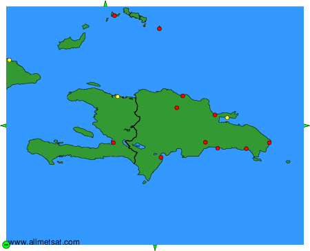
To change the map : click on the green buttons with a black cross to zoom in, on the green button with a dash to zoom out, or on the green arrows for adjacent maps.