METAR-TAF
Airports :
Samaná El Catey International Airport
Samaná, Dominican Republic
latitude: 19-16-12N, longitude: 69-44-15W, elevation: 4 m
Current weather observation
The report was made 24 minutes ago, at 11:00 UTC
Calm wind
Temperature 23°C
Humidity 100%
Pressure 1014 hPa
Visibility 10 km or more
Few clouds at a height of 1600 ft
METAR: MDCY 061100Z 00000KT 9999 FEW016 23/23 Q1014
Time: 07:24 (11:24 UTC)
Forecast
The report was made 1 hour and 24 minutes ago, at 10:00 UTC
Forecast valid from 06 at 12 UTC to 07 at 12 UTC
Wind kt from the North
Visibility 10 km or more
Few clouds at a height of 1800 ft
Becoming
from 06 at 15 UTC to 06 at 17 UTC
from 06 at 15 UTC to 06 at 17 UTC
Wind 10 kt from the East
TAF: MDCY 061000Z 0612/0712 00000KT 9999 FEW018 BECMG 0615/0617 10010KT
Weather observations and forecasts of more than 4000 airports (METAR and TAF reports).
The available stations are represented by yellow and red dots on the map.
Hover mouse over dot to see the name of the station.
Then click to see weather observations and forecasts.
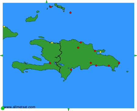
To change the map : click on the green buttons with a black cross to zoom in, on the green button with a dash to zoom out, or on the green arrows for adjacent maps.