METAR-TAF
Airports :
La Romana International Airport
La Romana, Dominican Republic
latitude: 18-25N, longitude: 068-57W, elevation: 8 m
Current weather observation
The report was made 5 hours and 4 minutes ago, at 03:00 UTC
Calm wind
Temperature 26°C
Humidity 89%
Pressure 1017 hPa
Visibility 10 km or more
Few clouds at a height of 1600 ft
METAR: MDLR 290300Z 00000KT 9999 FEW016 26/24 Q1017
Time: 04:04 (08:04 UTC)
Forecast
The report was made 4 hours and 4 minutes ago, at 04:00 UTC
Forecast valid from 29 at 06 UTC to 30 at 06 UTC
Wind kt from the North
Visibility 10 km or more
Few clouds at a height of 1600 ft
Probability 30%
from 29 at 19 UTC to 29 at 22 UTC
from 29 at 19 UTC to 29 at 22 UTC
Visibility: 8000 m
Broken clouds at a height of 1800 ft
showers
TAF: MDLR 290400Z 2906/3006 00000KT 9999 FEW016 PROB30 2919/2922 8000 SH BKN018
Weather observations and forecasts of more than 4000 airports (METAR and TAF reports).
The available stations are represented by yellow and red dots on the map.
Hover mouse over dot to see the name of the station.
Then click to see weather observations and forecasts.
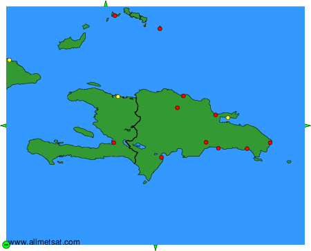
To change the map : click on the green buttons with a black cross to zoom in, on the green button with a dash to zoom out, or on the green arrows for adjacent maps.