METAR-TAF
Airports :
Gregorio Luperón International Airport
Puerto Plata, Dominican Republic
latitude: 19-45N, longitude: 070-33W, elevation: 15 m
Current weather observation
The report was made 12 minutes ago, at 02:00 UTC
Calm wind
Temperature 27°C
Humidity 84%
Pressure 1019 hPa
Visibility 10 km or more
Few clouds at a height of 1800 ft
METAR: MDPP 270200Z 00000KT 9999 FEW018 27/24 Q1019
Time: 22:12 (02:12 UTC)
Forecast
The report was made 4 hours and 12 minutes ago, at 22:00 UTC
Forecast valid from 27 at 00 UTC to 28 at 00 UTC
Wind 14 kt from the East
Visibility 10 km or more
Few clouds at a height of 2000 ft
Becoming
from 27 at 02 UTC to 27 at 04 UTC
from 27 at 02 UTC to 27 at 04 UTC
Wind kt from the North
TAF: MDPP 262200Z 2700/2800 09014KT 9999 FEW020 BECMG 2702/2704 00000KT
Weather observations and forecasts of more than 4000 airports (METAR and TAF reports).
The available stations are represented by yellow and red dots on the map.
Hover mouse over dot to see the name of the station.
Then click to see weather observations and forecasts.
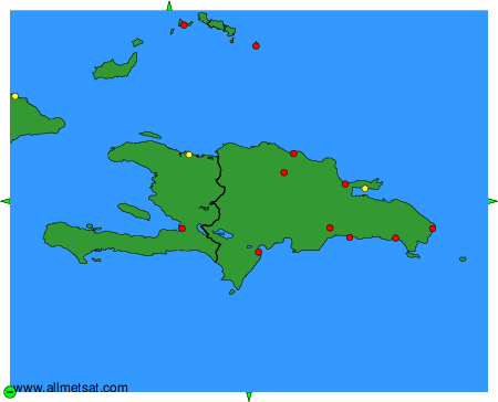
To change the map : click on the green buttons with a black cross to zoom in, on the green button with a dash to zoom out, or on the green arrows for adjacent maps.