METAR-TAF
Airports :
Las Américas International Airport
Punta Caucedo, Dominican Republic
latitude: 18-26N, longitude: 069-40W, elevation: 59 ft
Current weather observation
The report was made 35 minutes ago, at 06:00 UTC
Wind 5 mph from the Northeast
Temperature 77°F
Humidity 94%
Pressure 30.03 in. Hg
Visibility 6.2 miles or more
Few clouds at a height of 1600 ft
METAR: MDSD 260600Z 05004KT 9999 FEW016 25/24 Q1017
Time: 02:35 (06:35 UTC)
Forecast
The report was made 2 hours and 35 minutes ago, at 04:00 UTC
Forecast valid from 26 at 06 UTC to 27 at 06 UTC
Wind 7 mph from the East/Northeast
Visibility 6.2 miles or more
Few clouds at a height of 1600 ft
TAF: MDSD 260400Z 2606/2706 07006KT 9999 FEW016
Weather observations and forecasts of more than 4000 airports (METAR and TAF reports).
The available stations are represented by yellow and red dots on the map.
Hover mouse over dot to see the name of the station.
Then click to see weather observations and forecasts.
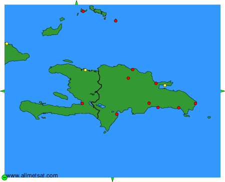
To change the map : click on the green buttons with a black cross to zoom in, on the green button with a dash to zoom out, or on the green arrows for adjacent maps.