METAR-TAF
Airports :
Eareckson Air Station
Shemya, Alaska, United States
latitude: 52-43-00N, longitude: 174-07-00E, elevation: 29 m
Current weather observation
The report was made 15 minutes ago, at 15:55 UTC
Wind 15 kt from the South
Temperature 9°C
Humidity 100%
Pressure 1024 hPa
Visibility: 0.4 km
fog
METAR: PASY 251555Z 18015KT 1/4SM FG VV001 09/09 A3023 RMK AO2A SLP238 ALSTG/SLP ESTMD WND DATA ESTMD T00940091 RVRNO PNO $
Time: 08:10 (16:10 UTC)
Forecast
The report was made 2 hours and 10 minutes ago, at 14:00 UTC
Forecast valid from 25 at 14 UTC to 26 at 20 UTC
Wind 15 kt from the South
Visibility: 0800 m
at a height of 100 ft
light rain, fog
TAF: PASY 251400Z 2514/2620 17015KT 0800 -RA FG VV001 520105 QNH3014INS TX12/2600Z TN08/2514Z
Weather observations and forecasts of more than 4000 airports (METAR and TAF reports).
The available stations are represented by yellow and red dots on the map.
Hover mouse over dot to see the name of the station.
Then click to see weather observations and forecasts.
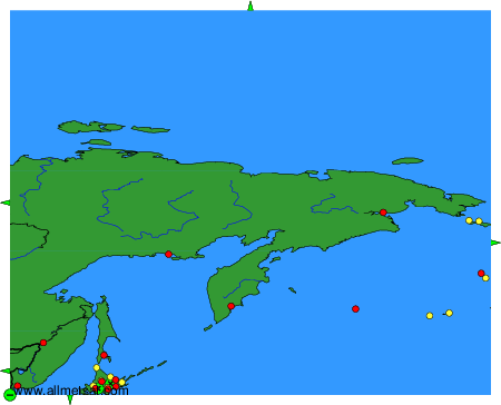
To change the map : click on the green buttons with a black cross to zoom in, on the green button with a dash to zoom out, or on the green arrows for adjacent maps.