METAR-TAF
Airports :
Tokachi–Obihiro Airport
Obihiro, Japan
latitude: 42-44N, longitude: 143-13E, elevation: 149 m
Current weather observation
METAR: RJCB 101100Z 16002KT 0300 R35/0550N FG VV002 21/21 Q1012
Time: 05:02 (20:02 UTC)
Forecast
Broken clouds at a height of 1200 ft
from 10 at 18 UTC to 10 at 22 UTC
from 10 at 22 UTC to 11 at 09 UTC
Broken clouds at a height of 400 ft
from 11 at 00 UTC to 11 at 02 UTC
from 11 at 09 UTC to 11 at 12 UTC
Broken clouds at a height of 300 ft
from 11 at 12 UTC to 11 at 15 UTC
from 11 at 12 UTC to 12 at 00 UTC
TAF: RJCB 101705Z 1018/1200 35004KT 8000 FEW002 BKN012 TEMPO 1018/1022 0700 -SHRA FG VV001 TEMPO 1022/1109 4000 -SHRA BR FEW002 BKN004 BECMG 1100/1102 15006KT TEMPO 1109/1112 2000 BR FEW001 BKN003 BECMG 1112/1115 34004KT TEMPO 1112/1200 0700 FG VV001
Weather observations and forecasts of more than 4000 airports (METAR and TAF reports).
The available stations are represented by yellow and red dots on the map.
Hover mouse over dot to see the name of the station.
Then click to see weather observations and forecasts.
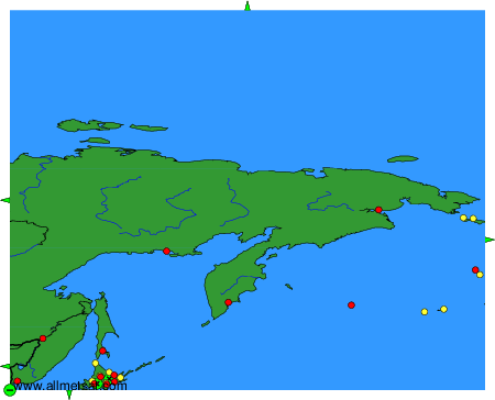
To change the map : click on the green buttons with a black cross to zoom in, on the green button with a dash to zoom out, or on the green arrows for adjacent maps.