METAR-TAF
Airports :
Hakodate Airport
Hakodate, Japan
latitude: 41-46N, longitude: 140-49E, elevation: 108 ft
Current weather observation
The report was made 40 minutes ago, at 21:00 UTC
Wind 7 mph from the North/Northeast
Temperature 28°F
Humidity 74%
Pressure 30.15 in. Hg
Visibility 6.2 miles or more
METAR: RJCH 172100Z AUTO 02006KT 9999 NCD M02/M06 Q1021
Time: 06:40 (21:40 UTC)
Forecast
The report was made 4 hours and 35 minutes ago, at 17:05 UTC
Forecast valid from 17 at 18 UTC to 19 at 00 UTC
Wind 5 mph from the North/Northwest
Visibility 6.2 miles or more
Few clouds at a height of 3000 ft
Becoming
from 18 at 06 UTC to 18 at 09 UTC
from 18 at 06 UTC to 18 at 09 UTC
Wind 12 mph from the East
TAF: RJCH 171705Z 1718/1900 34004KT 9999 FEW030 BECMG 1806/1809 09010KT
Weather observations and forecasts of more than 4000 airports (METAR and TAF reports).
The available stations are represented by yellow and red dots on the map.
Hover mouse over dot to see the name of the station.
Then click to see weather observations and forecasts.
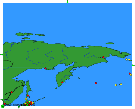
To change the map : click on the green buttons with a black cross to zoom in, on the green button with a dash to zoom out, or on the green arrows for adjacent maps.